
A shared record for teams working at a distance
Keep each project update connected to the last
For stakeholders overseas, occasional site images can be difficult to compare when every visit uses different views. Kvass can discuss a recurring aerial photography brief for a Norwegian project, centred on the locations, intervals and visual context your team needs for its updates.
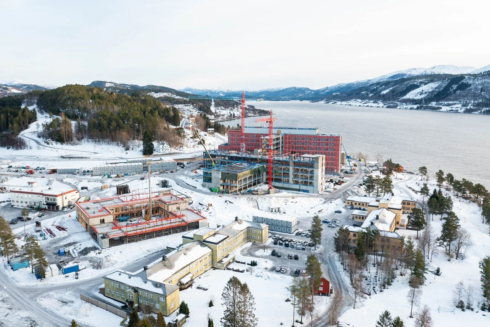
Choose a small set of useful viewpoints
Start with the parts of the site that stakeholders need to follow over time. A wider view may explain the overall layout, while closer views show selected areas of activity. Discuss which perspectives should be repeated where conditions allow, and which additional photographs are needed only at a particular milestone.
Fit visits to the reporting purpose
A project meeting, a major installation or completion of an outdoor area may call for different timing. Agree whether visits should follow a proposed interval or specific events. A local coordinator can flag changes in access or activity, helping the photography plan stay connected to the project’s actual sequence.
Keep the record clear and comparable
Discuss how photographs should be grouped by visit and site area so recipients can find the relevant material. Weather, visibility and site conditions can affect views between visits. The images document visible activity; they do not independently verify completion percentages, construction quality or precise measurements. Those questions require the appropriate project records and assessments.
How it works
Send the site location, reporting schedule and example stakeholder update to kristoffer@kvassfoto.no. Include the local coordinator and proposed project period. Kvass works from Ålesund and considers assignments elsewhere in Norway. We can discuss a recurring scope; the Norwegian contact form is also available.